The Andijan Reservoir and the Mountains of the Valley's East
Nature in the east of the Andijan region: the reservoir, foothills and picnic spots, and how to get there from Andijan, Khanabad and Qurgontepa.
Andijan is usually associated with city bustle, bazaars and industry, but in the east of the region, closer to the Kyrgyz border, the foothills of the Fergana range begin. Here lies the Andijan reservoir, surrounded by hills and orchards. For city residents it is a favourite place to relax, and for visitors a good way to see another side of the valley. Here is what to do and how to get there.
The big picture
The eastern part of the Andijan region is the transition from the flat valley to the mountains. The land rises in waves, slopes are covered with grass and shrubs, orchards fill the lowlands, and reservoirs operate on the rivers. The climate is slightly milder than in the centre of the valley: hot in summer but cooler in the evenings. The whole territory is densely populated, so nature sits beside settlements, fields and roads.
The Andijan reservoir
The Andijan reservoir lies in the foothills and is considered one of the largest bodies of water in the valley. It was formed by a dam on the Karadarya river, and the water is clear, with a colour that shifts from blue to green. The shores are hilly and grassy, stony in places. In summer many visitors on the shore swim, sunbathe and grill shashlik. In spring the slopes are covered in flowers and in autumn they turn gold. Sunsets over the water are beautiful, and in windless weather the water looks like a mirror.
How to get there
The simplest way to the reservoir is by car or taxi from Andijan. The road runs east through suburbs and foothills and takes no more than an hour, depending on the shore chosen. It is better to confirm exact access points with local people. From the south and east of the region it is convenient to come via the towns of Khanabad and Qurgontepa. Route descriptions: Andijan — Khanabad and Andijan — Qurgontepa. Roads towards the border pass nearby, so carry your passport, as checks are possible on approaches.
What to do
- Swim and sunbathe. Choose equipped places, do not swim far and watch children.
- Have picnics. The shores have many resting spots where you can set out a rug and a grill. Bring food and water, and take your rubbish with you.
- Walk in the foothills. Trails run along slopes and beside the water. Evening walks are good.
- Fish. Anglers often sit on the shores. Ask local people about the rules.
- Take photographs. Water, hills and sunsets make beautiful pictures.
- Get to know villages. In the area you can see rural life, orchards and vegetable plots.
The mountains in the east of the valley
Beyond the reservoir the higher slopes of the Fergana range begin. Here you find gorges, springs and pastures where livestock graze in summer. For walks, trails along rivers and across foothills are suitable. Higher routes require preparation and ideally a guide. The weather changes quickly, so bring warm clothes and a raincoat. Part of the area close to the border may have a special regime, so do not enter closed zones.
Best time to travel
- Spring. The most beautiful season: green slopes, flowers, moderate temperature.
- Summer. Hot, warm water, many visitors. Come in the morning or evening.
- Autumn. Mild weather, golden slopes, fewer people. An excellent time for walks.
- Winter. Cold, with rain and fog possible, and slippery roads.
What to bring
- Your passport: checks are possible on approaches to the border.
- Water and food, especially if you plan a picnic.
- A hat, glasses and sunscreen.
- Swimwear and a towel.
- Comfortable closed shoes for walks.
- A warm sweater for the evening.
- A rubbish bag.
- Cash: terminals do not work everywhere.
Safety
Do not swim alone or in unfamiliar places, and watch children. Do not swim far from the shore or dive from unknown places. Avoid swimming after alcohol. Do not photograph border or military facilities. Do not leave rubbish or light fires outside designated places. After rain beware of washed-out roads and landslides.
Combining with a city programme
Andijan is interesting as the birthplace of Babur, founder of the Mughal Empire, and there is a memorial park here. In the morning you can see the city and bazaar, and in the second half of the day head to the reservoir. You can also combine the trip with a visit to Khanabad or Qurgontepa. For two days, pairing with Margilan, Fergana or Kokand works well.
Getting there without a car
Buses and minibuses run from Andijan to Khanabad and Qurgontepa, but to the shores themselves you need a car or an arrangement with a driver. A shared ride suits part of the way. On Yo'ldosh you can find a driver heading along the Andijan and Khanabad or Andijan and Qurgontepa route and book a seat. You pay only for your seat, so it is cheaper than hiring a car for the whole day. For the last stretch to the water arrange with local drivers, including the return.
Practical tips
Set off in the morning to avoid heat and crowds. Ask local people where it is best to swim and relax. Watch the weather forecast. Prices for transport, food and services are approximate and depend on the season, so confirm them in advance.
Find other directions on the all routes page, and read how to book rides in the for passengers section.
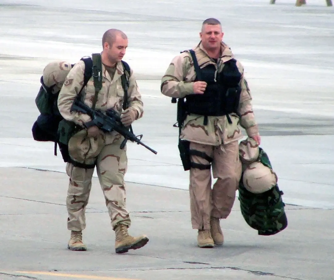
Cover photo: Department of Defense. American Forces Information Service. Defense Visual Information Center. 1994, [Public domain](https://commons.wikimedia.org/wiki/File:Two_U.S._Air_Force_Securilty_Forces_personnel_walk_across_the_airfield_at_Karshi-Khanabad_Air_Base,_Uzbekistan,_on_Jan._23,_2005,_during_Operation_Enduring_Freedom._(U.S._Air_Force_-_DPLA_-_284e2070366bac8c150d5146c8142ee7.jpeg), Wikimedia Commons.
